Access to data when you need it
We collaborate with the world’s top geospatial data providers to source, collate and distribute the highest quality street-level data sets from small cities to entire countries.
Accessible via TerraView, we make these data sets available to our customers and partners across many industry sectors to create more accurate maps, form the bedrock for ground truth data within AI and enable the result of digital twins and smarter cities.
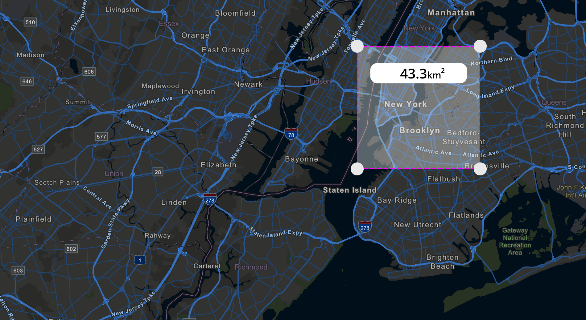
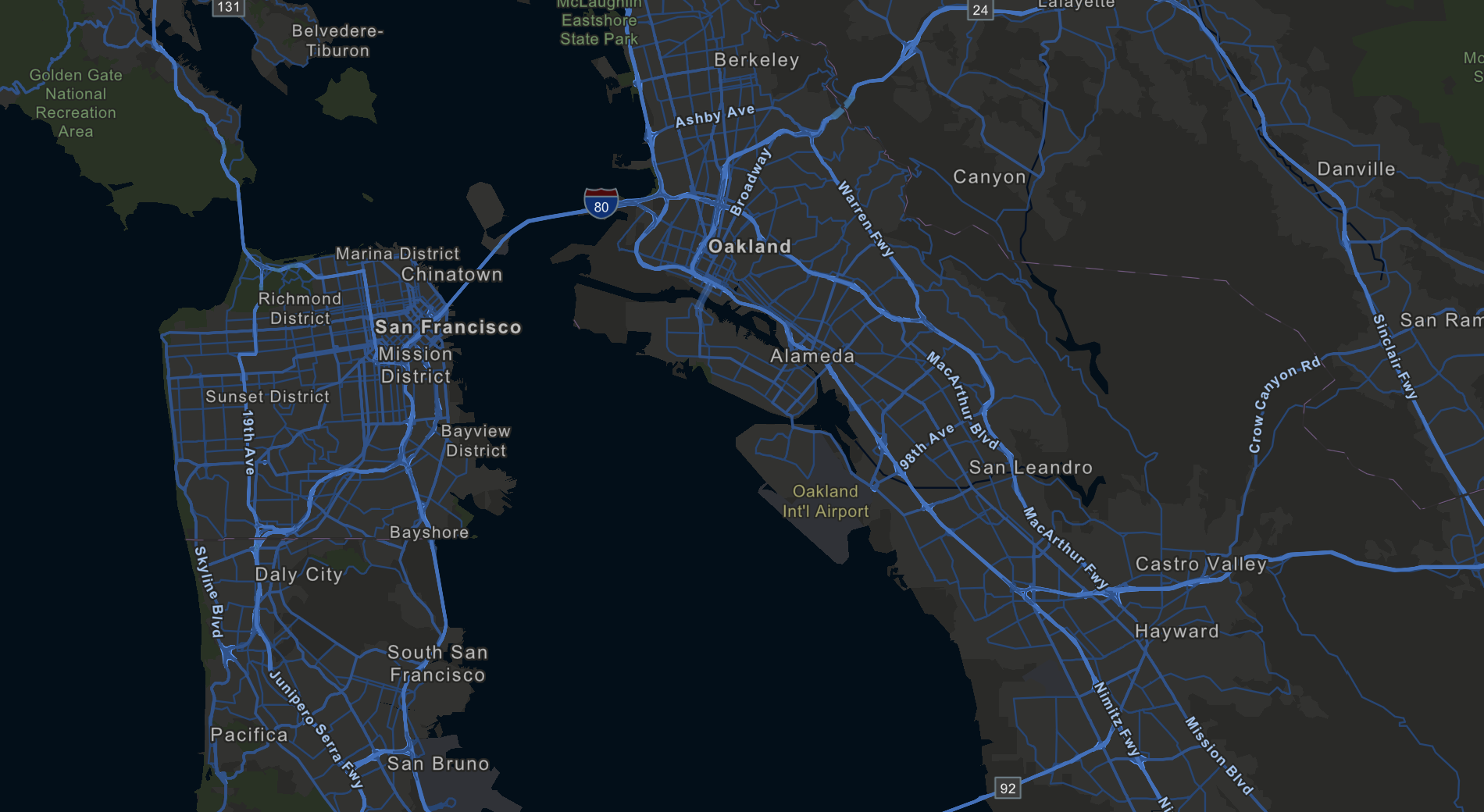
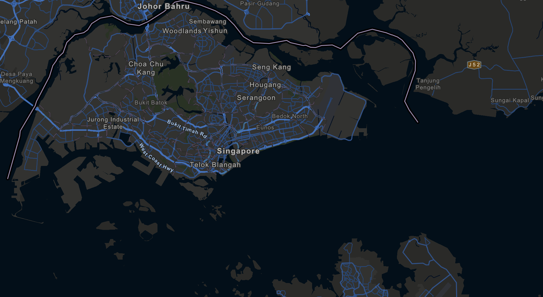
Worldwide data
Key regions of coverage include Europe, the USA, central and south America, Australia and India. In addition, we have significant coverage in Asia-Pacific, including Thailand, Malaysia, Singapore, Indonesia and the Philippines.
Coverage includes capital and main cities, towns, motorways, freeways, and major roads of high importance.
Professionally collected data
Licensing pre-captured data can significantly reduce costs and time to get to market.
At Terra Visus, the data we have available to license has been collected using professional-grade imaging systems and scanners to ensure the highest quality data. All data is collected ethically with all necessary in-country permissions sought where and if required.
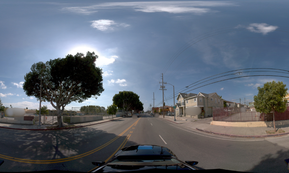
Spherical data
A spherical image is a 360° panoramic image with ultra-high resolution and offers a reliable and accurate digital perspective of public spaces at street level. Its high quality and resolution enable users to observe details such as office signage, infrastructure features, and the state of assets and real estate, without needing to visit the physical location. Such data can be viewed, evaluated, and analyzed remotely.
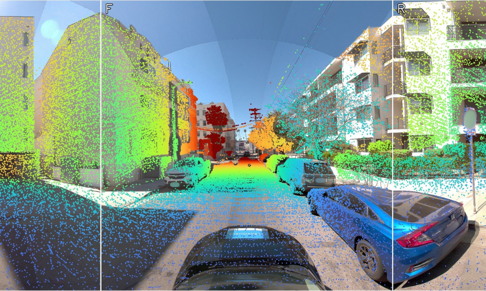
LiDAR data
LiDAR data is comprised of densely-packed three-dimensional point clouds, and we optimize the output by simultaneously obtaining LiDAR data and spherical images during the capture process. This allows the spherical images to be used on their own for visual reference or to colourise the LiDAR data.
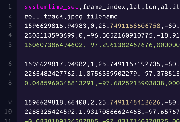
Trajectory data
Trajectory data is a key component of mobile mapping technology. It refers to the series of location coordinates that are recorded by sensors on a mobile mapping system as it travels along a route. These coordinates can be used to generate a highly accurate and detailed digital map of the environment, including the position of road networks, buildings, and other infrastructure.