Description
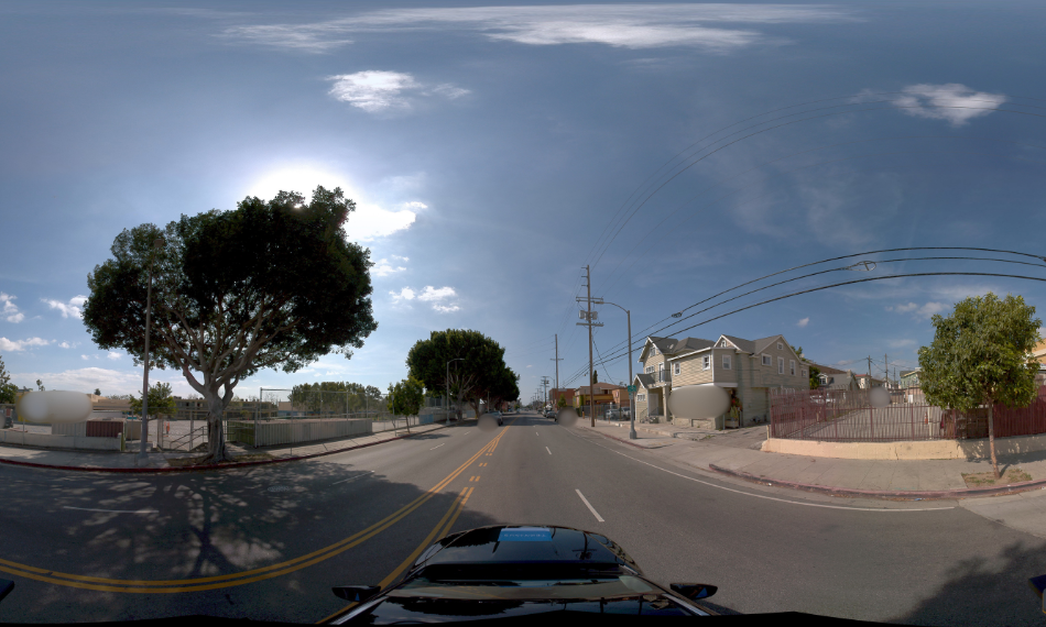
A spherical image is a 360° panoramic image with ultra-high resolution and offers a reliable and accurate digital perspective of public spaces at street level. Its high quality and resolution enable users to observe details such as office signage, infrastructure features, and the state of assets and real estate, without needing to visit the physical location. Such data can be viewed, evaluated, and analysed remotely.
At Terra Visus, we offer a range of geo-referenced spherical data formats that are either captured by us or provided by our partners, consisting of 360° panoramic photographs with ultra-high resolution. They offer a reliable and objective digital view of street-level routes and can be used as stand-alone imagery, to generate 3D models and meshes using photogrammetry or to provide colourisation of underlying point cloud data.
All our spherical image data sets are available as equirectangular projections along with trajectory and positional data. Optional additional formats include cube face and fisheye.