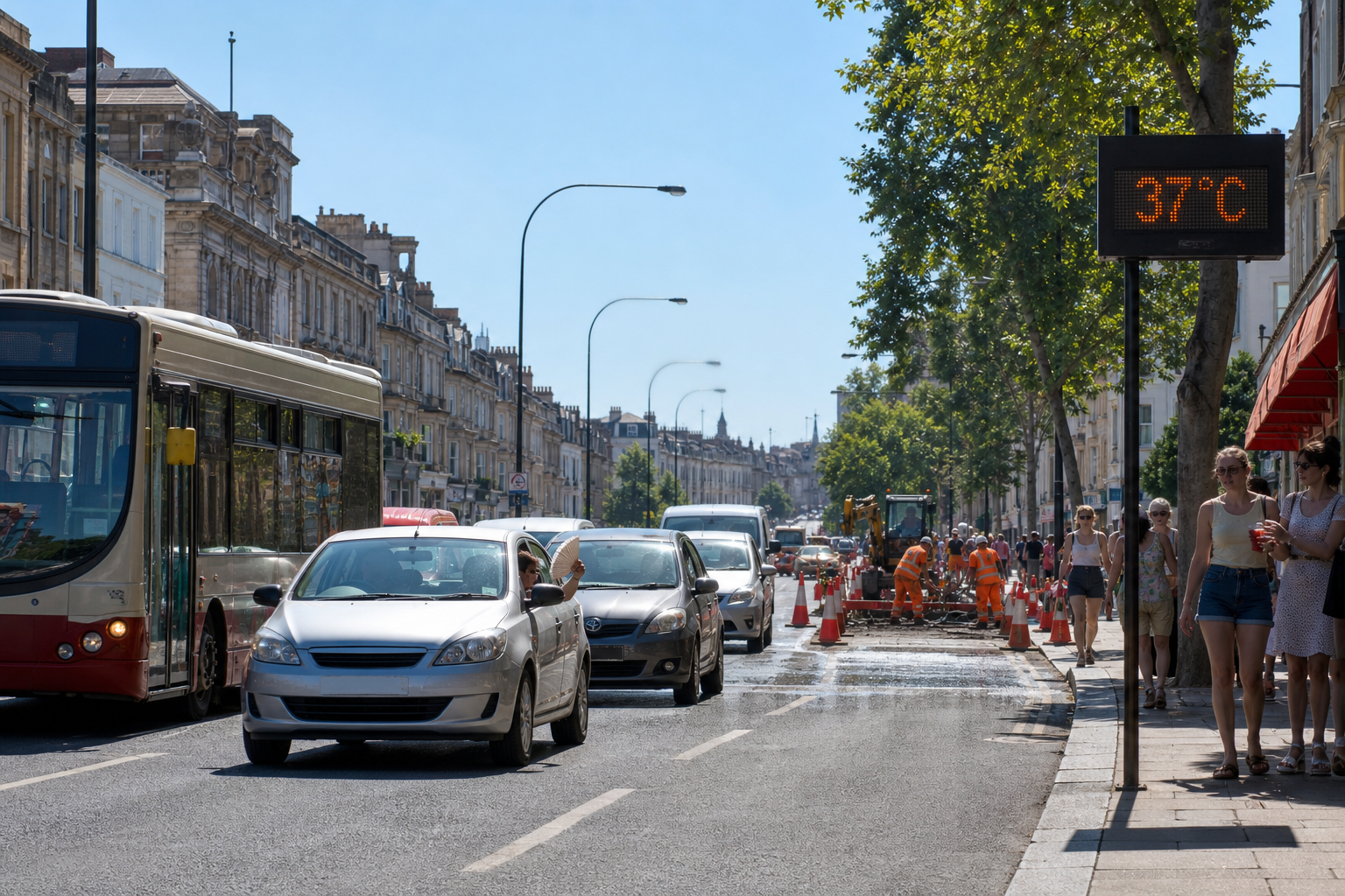
Smart cities, autonomous vehicles, digital twins, mapping and navigation, and urban planning are just some of the industries that require detailed, accurate, and continuously updated street-level imagery and LiDAR data.
But why is it so hard for some organisations to access such data?
Capturing street-level imagery and LiDAR data can be a costly and time consuming task, and for some organisations the resources are simply not available.
This can prevent organisations with smaller budgets from accessing fresh, geospatial imagery, forcing them to rely on historic or inaccurate data, which can significantly impact decision-making, project timelines, and the quality of the project output.
The difficulty businesses face in accessing street-level imagery became very apparent to our founders, Cameron and Andy, when speaking with connections across various industries over the years. They decided it was time mobile mapping data could be easily accessible to anyone who needs it, when they need it - and so they founded Terra Visus.
The vision: to build a global ecosystem that brings together street-level imagery and LiDAR data from leading data providers through a Data Partnership programme.
Fast forward to the present, our combined partner ecosystem now represents over 30 million unique kilometres of street-level imagery and LiDAR data (and counting), that is available for licensing, integration, and analysis. Accurate data that is powering projects all over the world, making a difference to our towns and cities in which we live, and for generations to come.
At Terra Visus, we work closely with our customers to understand their data requirements whilst our our comprehensive data platform, TerraView™, displays the areas of coverage we have available. We connect the ecosystem that produces the data, to the ecosystem that needs it.
This collaborative model delivers powerful results by building a cooperative network of data providers and helps the world move toward a more open, connected, and sustainable mapping economy.
Do you have street-level imagery and/or LiDAR data? Let us help you!
Street-level data has immense value, but too often it remains dormant, sitting unused on servers after initial capture projects are complete. Whether you're a fleet operator, mapping company, or surveying company with a backlog of street-level datasets, Terra Visus can help you monetise your existing assets and contribute to a global pool of actionable geospatial intelligence, making your data available to organisations and communities who are working hard to make the world we live in better.
We help organisations turn dormant data into active revenue streams by:
-
Making street-level and LiDAR datasets discoverable for licensing.
-
Managing rights and usage control so partners maintain ownership.
-
Connecting data to buyers across industries that need verified, georeferenced imagery and LiDAR. Creating interoperability between private, public, and partner data sources for scalable coverage.
Partner Testimonial:
"Terra Visus has been an exceptionally professional and reliable data partner.
Throughout our collaboration, their efficiency, technical expertise, and responsiveness have consistently exceeded our expectations. They demonstrate a deep understanding of client needs and deliver high-quality results with impressive speed and precision, making them a highly dependable partner for critical business decisions.
In addition, Terra Visus brings a strong and well-established client network and communicates in a clear, professional, and thoughtful manner, which makes every engagement smooth and productive. We truly value our partnership with Terra Visus and would confidently recommend them to any organization seeking a top-tier data partnership".
Chris Campbell, Lead Solutions Architect, Rovr.network.
Partner With Terra Visus
If you have street-level imagery or LiDAR data that's currently sitting unused, join us as a Terra Visus Data Partner and let us:
-
Unlock new value from your existing archives.
-
Reach a global audience of data buyers and integrators.
-
Contribute to a unified, scalable digital representation of the world.
Contact us today for more information.
About Terra Visus
Terra Visus is a leading provider of street-level imagery and LiDAR data, supplying some of the world's largest technology companies and organisations, providing an on-demand, global street-level data marketplace for data collectors and buyers.
Founded in 2021, Terra Visus is headquartered in Edinburgh, Scotland.
www.terravisus.com
Follow us on LinkedIn to keep up to date on what we're up to!
For further information:
sales@terravisus.com
www.terravisus.com