Street-Level Imagery & LiDAR Data
Pre-captured data available for immediate licensing.
The sustainable way to get the geospatial data you need, delivered directly to your desk via TerraView™, the street-level data platform.

The power of TomTom Street-Level Data through Terra Visus
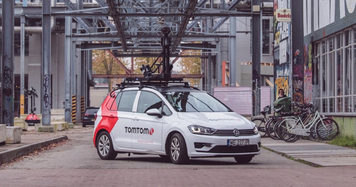
TomTom is renowned for its precision and the accuracy of its data, covering millions of kilometers of roadways and pathways around the globe.
Licensing this data through Terra Visus ensures users get the most reliable information, including the latest updates on road changes, signposts, and other critical markers in the shortest time possible.
Read more here.
“At Terra Visus, we work with a global network of industry-leading professional data providers to source, collate and distribute the highest quality street-level image data sets and LiDAR data from small cities to entire countries.”