TomTom
Global coverage street-level imagery and LiDAR data under sub-license from TomTom for asset detection, urban planning and smart cities.
Overview
When it comes to mapping our world’s roads, TomTom is a pioneer and one of the most experienced firms in the industry.
To keep its maps as fresh as possible, TomTom uses an array of sources, including government information, survey vehicles and community input.
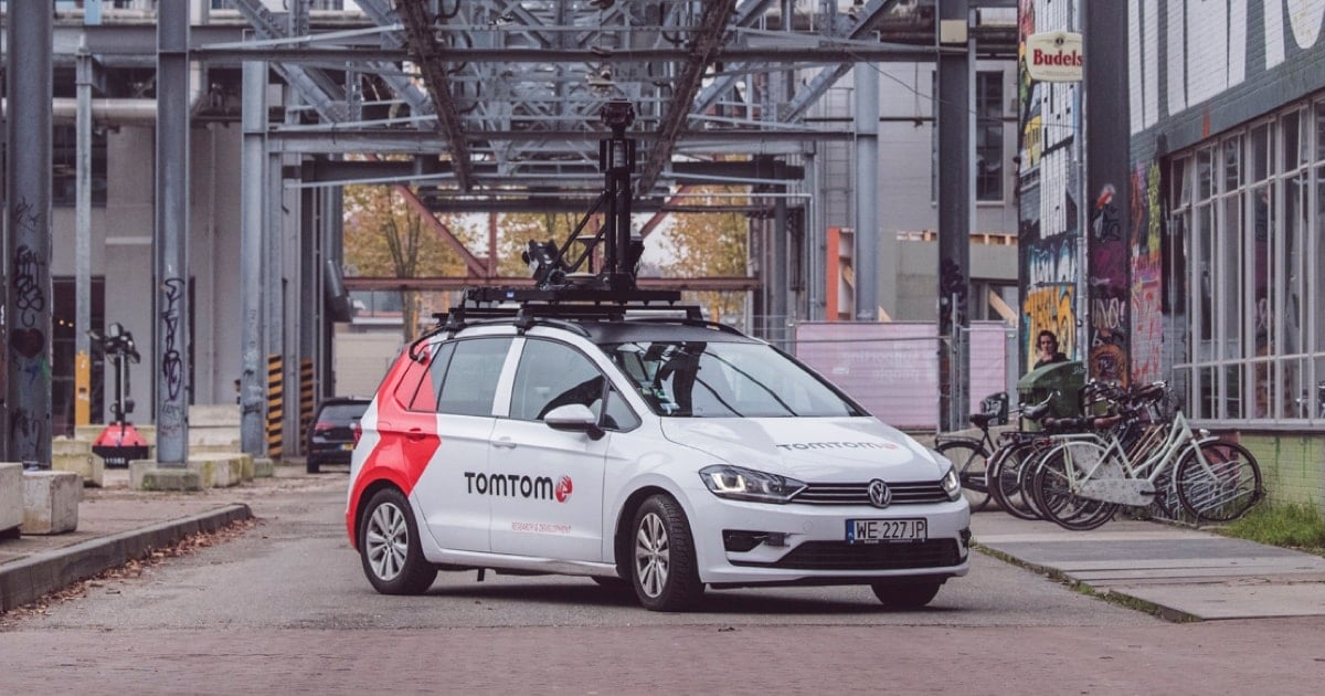
But there’s one source that stands unique in its accuracy, reliability and value to the company: mobile mapping vans, or MoMas for short. Thanks to MoMa vans, the company’s maps continue to become ever more detailed and refined.

In 2023, Terra Visus announced a partnership with TomTom to provide licensed global coverage street-level data.
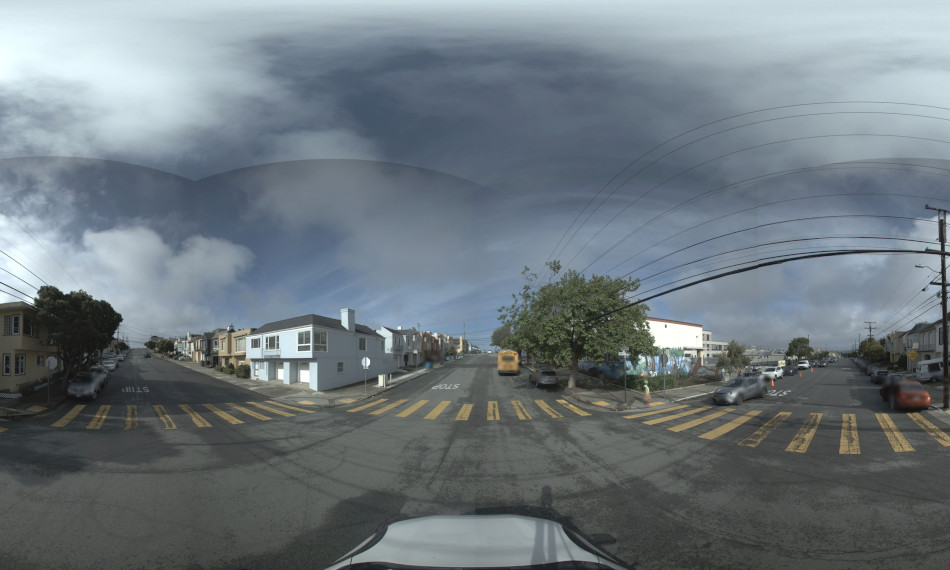
The partnership has enabled Terra Visus to offer its customers access to TomTom’s street-level data captured with it's fleet of MoMa vehicles, which includes high-resolution, geo-referenced spherical imagery and LiDAR. This data is available through TerraView which makes it easy to license for integration into a variety of applications.
Read the press release here: https://bit.ly/46RrA8i
For more information about how to license TomTom street-level data:
“We are delighted to partner with TomTom to give our customers on-demand access to their world-class street-level data,” said Cameron Ure, CEO of Terra Visus. “This collaboration enables us to provide our customers with a more comprehensive and precise perspective of major world cities and road networks, enriching our customers' offerings and enhancing their global impact.”

Technical details
The TomTom street-level data is captured using industry-standard mobile mapping hardware. This ensures full compliance with all asset and inventory detection requirements.
Hardware specifications:
- Ladybug 5 / 5+ Spherical Camera
- Velodyne HDL32-E LiDAR
- NovAtel ProPak 6 GPS
- NovAtel IMU-IGM-A1 IMU
Data specifications:
- 30-megapixel spherical images
- 8m spacing
- 0.2m - 0.4m positional accuracy
- 700,000 points per second
To request a sample data set:
“We are pleased to partner with Terra Visus to make our street-level data available to their customers,” said Aaron Golden, SVP Global Enterprise Sales at TomTom.”

Global coverage, local content
Terra Visus provides high resolution, precise geo-referenced global street-level imagery and LiDAR data through a secure, unified platform called TerraView®.
-
High resolution imagery
-
We have have partnered with the world leaders in high resolution spherical image mobile mapping systems.
-
Precise geo-referenced data
-
Accurate geospatial technologies ensure consistent and reliable positional street-level imagery and LiDAR data.
-
Global coverage
-
We work with a global network of data providers to capture and distribute street-level imagery and LiDAR data from small cities to entire countries.
-
Secure platform
-
Our commercial platform, TerraView enables our customers and partners to create more accurate maps, digital twins and smarter cities.